3d Scanning For Farming And Forestry Industry
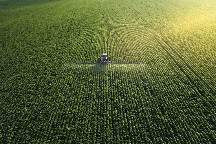
3D scanning technology can be very useful in the farming and forestry industry, providing a range of benefits such as improving efficiency, reducing costs, and enhancing safety.
Here are some potential applications of 3D scanning in these industries:
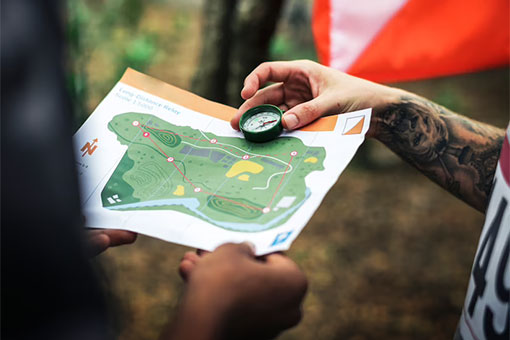
Mapping and Surveying
3D scanning can be used to map and survey farmland and forests, providing accurate data on topography, vegetation, and other features. This data can be used to optimize crop planting, harvest, and forest management.

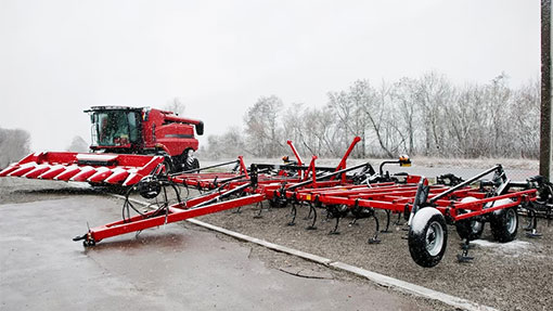
Equipment Design and Maintenance
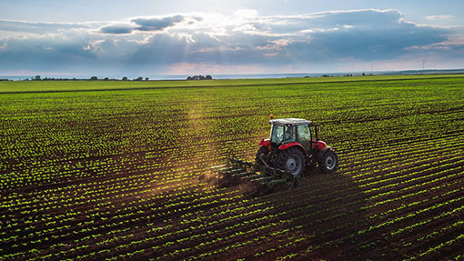
3D scanning can help design and maintain farm and forestry equipment by providing accurate measurements and models. This can help ensure proper fit and function, as well as reduce downtime and repair costs.
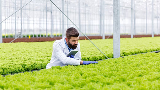
Plant and Tree Health
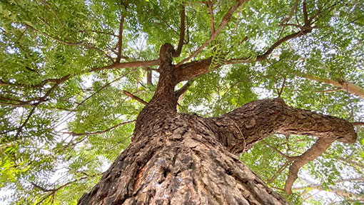
3D scanning can be used to identify and monitor the health of plants and trees. By creating 3D models of individual plants and trees, farmers and foresters can detect early signs of disease or stress and take appropriate action.
Forest Inventory
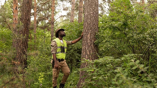
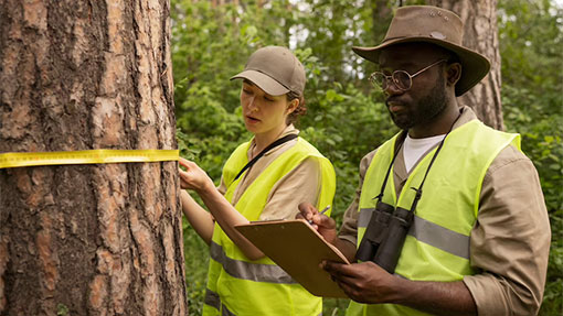
3D scanning can be used to create detailed inventories of forest resources. By scanning trees, stumps, and other features, foresters can accurately estimate timber volume and quality.

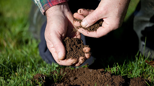
Soil Analysis
3D scanning can be used to create detailed models of soil, which can be analyzed to determine nutrient content, moisture levels, and other important factors that affect plant growth.
3D scanning technology has a wide range of applications in the farming and forestry industry, including:
Mapping
3D scanning technology can be used to create detailed maps of fields, forests, and other agricultural or forestry areas. These maps can help farmers and foresters better understand the topography of their land, which can be useful for planning and implementing different management practices.

Crop and tree monitoring
3D scanning technology can be used to monitor the growth and health of crops and trees. By scanning individual plants or trees over time, farmers and foresters can track changes in height, width, and other characteristics, which can help them identify potential issues early on.
Equipment design and maintenance
3D scanning technology can be used to create detailed models of agricultural and forestry equipment, which can be used for design, maintenance, and repair. By scanning equipment components, engineers can create 3D models that can be used to create replacement parts or identify areas that need repair.
Precision agriculture
3D scanning technology can be used to create detailed maps of soil structure and plant health, which can be used to optimize crop yields and reduce waste. By identifying areas of soil that need specific nutrients or irrigation, farmers can ensure that their crops are receiving the resources they need to thrive.
Forest inventory
3D scanning technology can be used to create detailed inventories of forests, including the size and location of individual trees. This information can be used to plan forest management practices, such as selective harvesting or reforestation.
Overall, 3D scanning technology has the potential to revolutionize the way that farmers and foresters manage their land and resources. By providing detailed information about crops, trees, soil, and equipment, 3D scanning technology can help improve efficiency, reduce waste, and increase yields.
